Кафедра Аеронавігаційних Систем


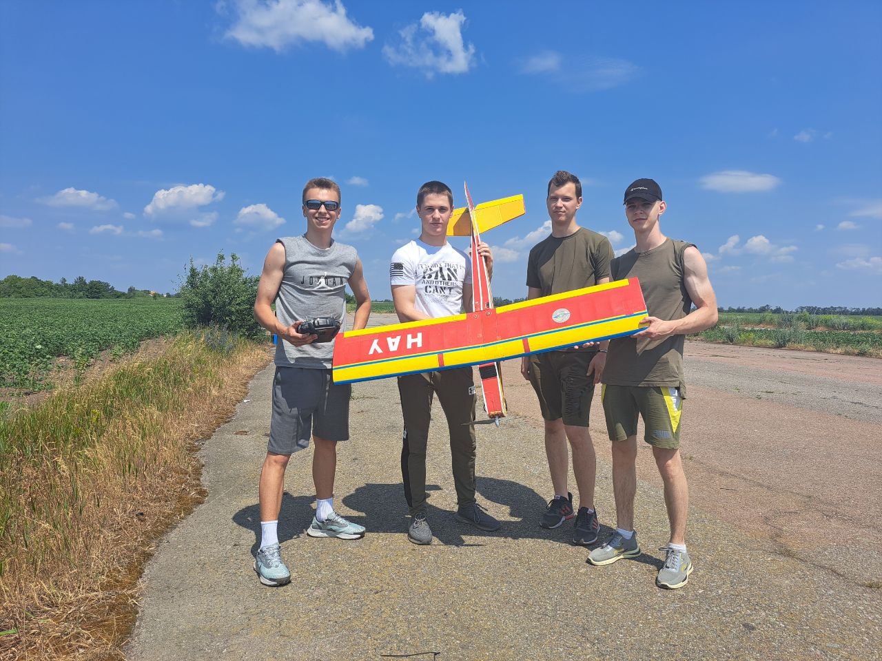
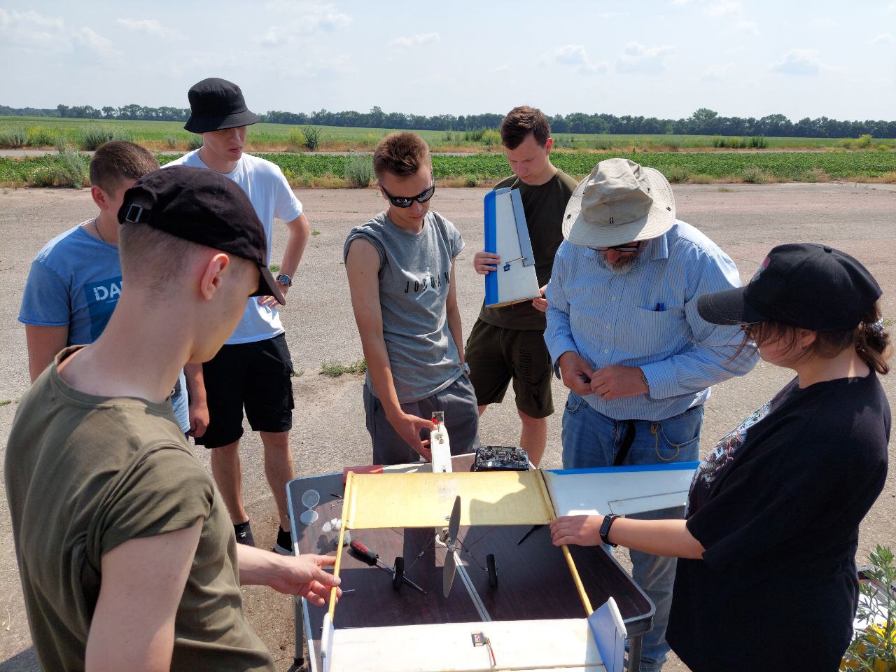
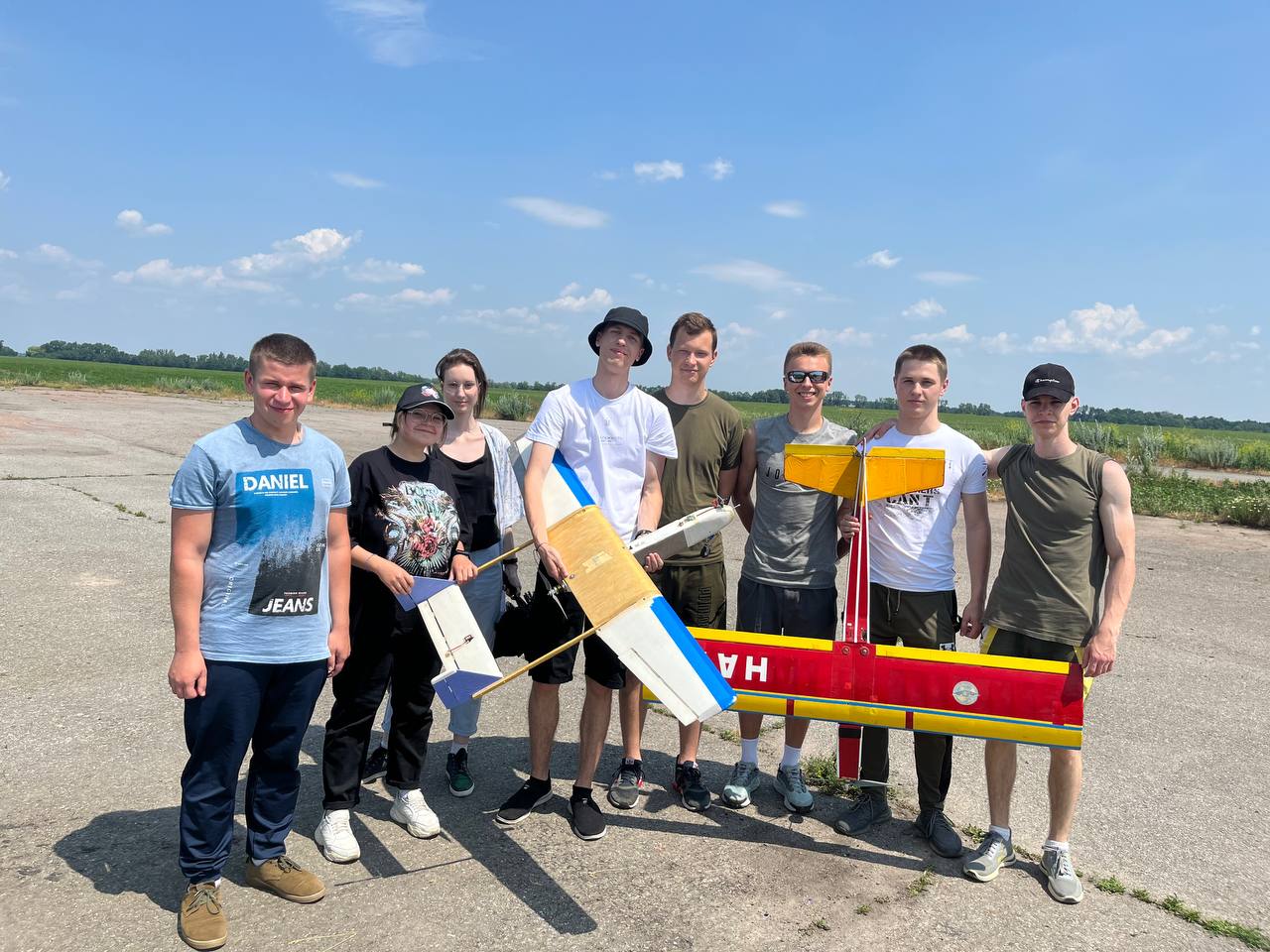
Святкує 10 років підготовки пілотів Безпілотних Літальних Апаратів (БПЛА). Навчайся у професіоналів!


Кафедра Аеронавігаційних Систем
Hаша гордість
Laurel Municipal Airport
(
Laurel,
United States )
BASIC DESCRIPTION
Latitude: 45.916098297119
Longitude: -108.02300158691
Elevation: 3517 ft / 1071.9816 m
Type of airport: small_airport
City:Laurel
ICAO code: K6S8
Local identification code: 6S8
Scheduled service of the airport: no
COMMUNICATION
A/D(BILLING APP/DEP) : 120.5 Mhz
UNIC(CTAF/UNICOM) : 123.05 Mhz
RUNWAY INFORMATION
04/22
Surface: ASP
lighted: present
Runway 04 | Runway 22 | |
45.8366 | 46.5877 | |
-108.48 | -108.138 | |
Elevation: | 3488 ft . | 3454 ft . |
Heading: | 50 deg | 230 deg |
09/27
Surface: GRS
Runway 09 | Runway 27 | |
46.3134 | 45.794 | |
-108.698 | -108.366 | |
Elevation: | 3516 ft . | 3491 ft . |
Heading: | 98 deg | 278 deg |
14/32
Surface: ASP
lighted: present
Runway 14 | Runway 32 | |
45.8903 | 46.6809 | |
-107.882 | -108.029 | |
Elevation: | 3517 ft . | 3462 ft . |
Heading: | 152 deg | 332 deg |
Displaced threshold: | ft. | 514 ft. |
The data represented on this page is invalid and can be used only for training. Data was modified with error.
©Air Navigation Department, NAU. All rights are reserved


