Кафедра Аеронавігаційних Систем


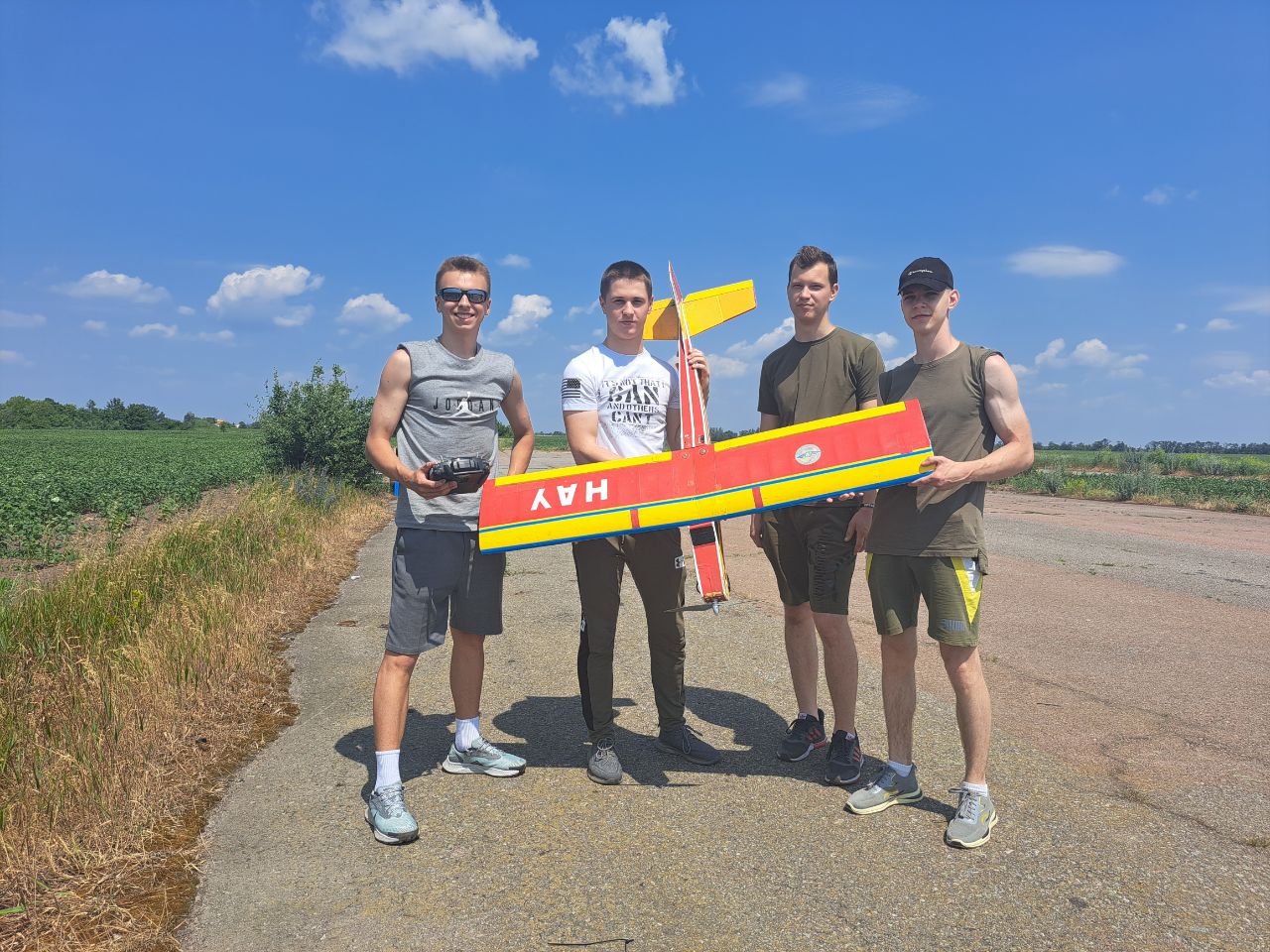
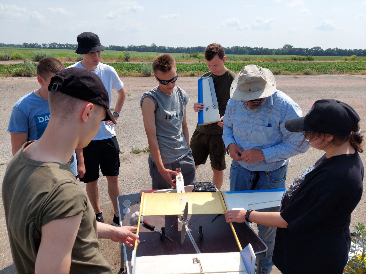
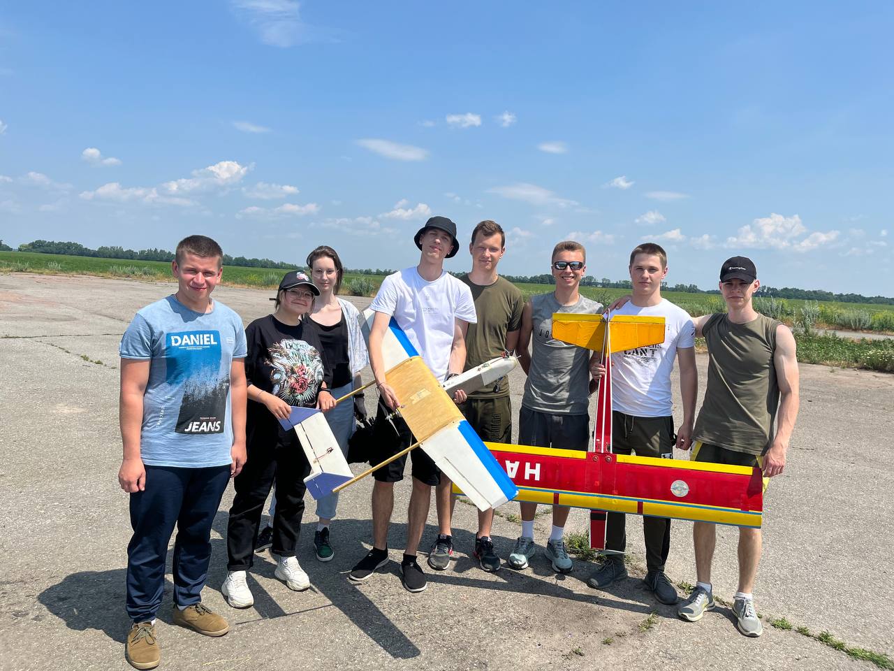
Святкує 10 років підготовки пілотів Безпілотних Літальних Апаратів (БПЛА). Навчайся у професіоналів!


Кафедра Аеронавігаційних Систем
Hаша гордість
Honolulu International Airport
(
Honolulu,
United States )
BASIC DESCRIPTION
Latitude: 21.362700790405
Longitude: -157.33899707031
Elevation: 13 ft / 3.9624 m
Type of airport: large_airport
City:Honolulu
ICAO code: PHNL
IATA code: HNL
Local identification code: HNL
Airport web page: http://hawaii.gov/dot/airports/hnl/
Wikipedia data about the airport: http://en.wikipedia.org/wiki/Honolulu_International_Airport
Scheduled service of the airport: yes
RUNWAY INFORMATION
04L/22R
Surface: ASPH-G
Runway 04L | Runway 22R | |
21.3413 | 22.2658 | |
-157.788 | -157.295 | |
Elevation: | 10 ft . | 10 ft . |
Heading: | 53 deg | 233 deg |
04R/22L
Surface: ASPH-G
Runway 04R | Runway 22L | |
21.4969 | 22.0938 | |
-157.79 | -157.744 | |
Elevation: | 9 ft . | 9 ft . |
Heading: | 53 deg | 233 deg |
04W/22W
Surface: WATER
Runway 04W | Runway 22W | |
22.1847 | 21.6649 | |
-157.075 | -157.453 | |
Heading: | 51 deg | 231 deg |
08L/26R
Surface: ASPH-G
Runway 08L | Runway 26R | |
22.2002 | 21.6582 | |
-157.062 | -157.758 | |
Elevation: | 12 ft . | 9 ft . |
Heading: | 90 deg | 270 deg |
08R/26L
Surface: ASPH-G
Runway 08R | Runway 26L | |
21.4428 | 22.2288 | |
-157.403 | -157.742 | |
Elevation: | 10 ft . | 10 ft . |
Heading: | 90 deg | 270 deg |
08W/26W
Surface: WATER
Runway 08W | Runway 26W | |
22.0753 | 21.9091 | |
-157.551 | -157.668 | |
Heading: | 91 deg | 271 deg |
The data represented on this page is invalid and can be used only for training. Data was modified with error.
©Air Navigation Department, NAU. All rights are reserved


