Кафедра Аеронавігаційних Систем


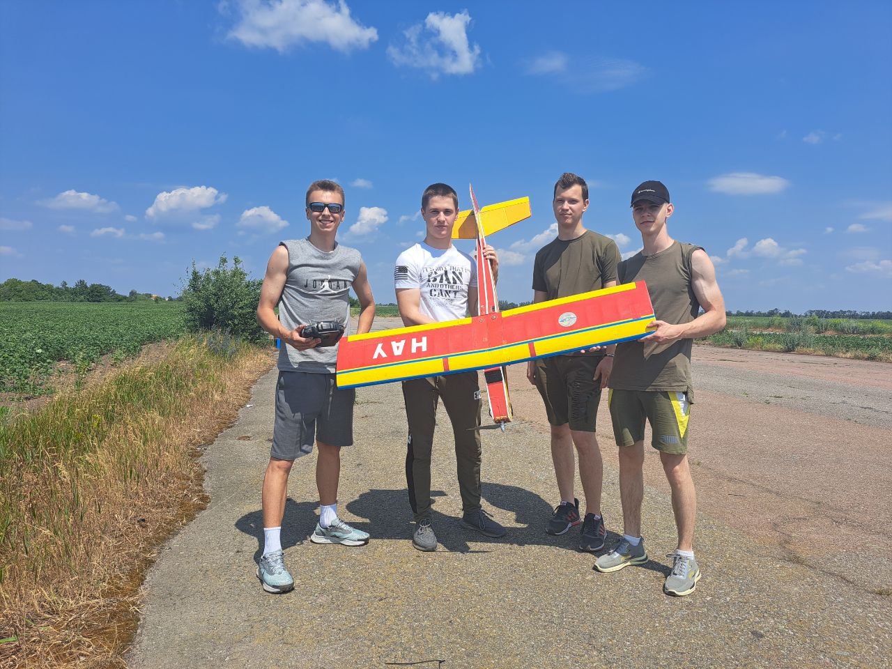
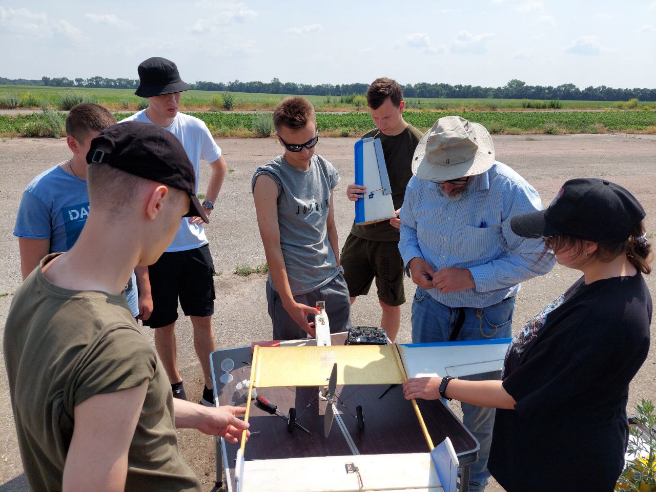
Святкує 10 років підготовки пілотів Безпілотних Літальних Апаратів (БПЛА). Навчайся у професіоналів!


Кафедра Аеронавігаційних Систем
Hаша гордість
RAF Barkston Heath
(
Grantham,
United States )
BASIC DESCRIPTION
Latitude: 53.533200164795
Longitude: 0.3863749961853
Elevation: 367 ft / 111.8616 m
Type of airport: medium_airport
City:Grantham
ICAO code: EGYE
Wikipedia data about the airport: http://en.wikipedia.org/wiki/RAF_Barkston_Heath
Scheduled service of the airport: no
COMMUNICATION
DEP(DEP) : 119.375 Mhz
TWR(TWR) : 120.425 Mhz
APP(CRANWELLL APP) : 28.077 Mhz
ATIS(ATIS) : 29.345 Mhz
GND(GND) : 38.945 Mhz
RUNWAY INFORMATION
06/24
Surface: ASP
lighted: present
Runway 06 | Runway 24 | |
53.3166 | 53.7364 | |
0.299139 | -0.521875 | |
Elevation: | 366 ft . | 323 ft . |
Heading: | 57.5 deg | 237.5 deg |
Displaced threshold: | 499 ft. | ft. |
11/29
Surface: ASP
lighted: present
Runway 11 | Runway 29 | |
52.9943 | 53.8957 | |
-0.423261 | -0.270672 | |
Elevation: | 367 ft . | 341 ft . |
Heading: | 103 deg | 283 deg |
Displaced threshold: | ft. | 515 ft. |
18/36
Surface: ASP
Runway 18 | Runway 36 | |
53.348 | 53.5522 | |
-0.036167 | -0.352667 | |
Elevation: | 367 ft . | 367 ft . |
Heading: | 177.5 deg | 357.5 deg |
The data represented on this page is invalid and can be used only for training. Data was modified with error.
©Air Navigation Department, NAU. All rights are reserved


