Кафедра Аеронавігаційних Систем


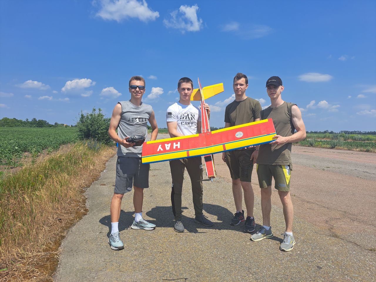
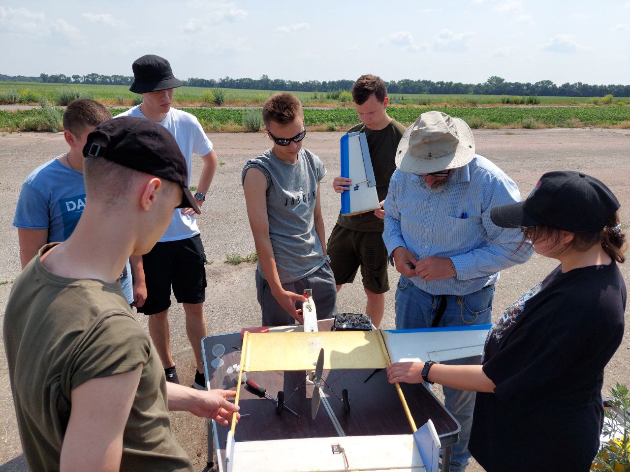
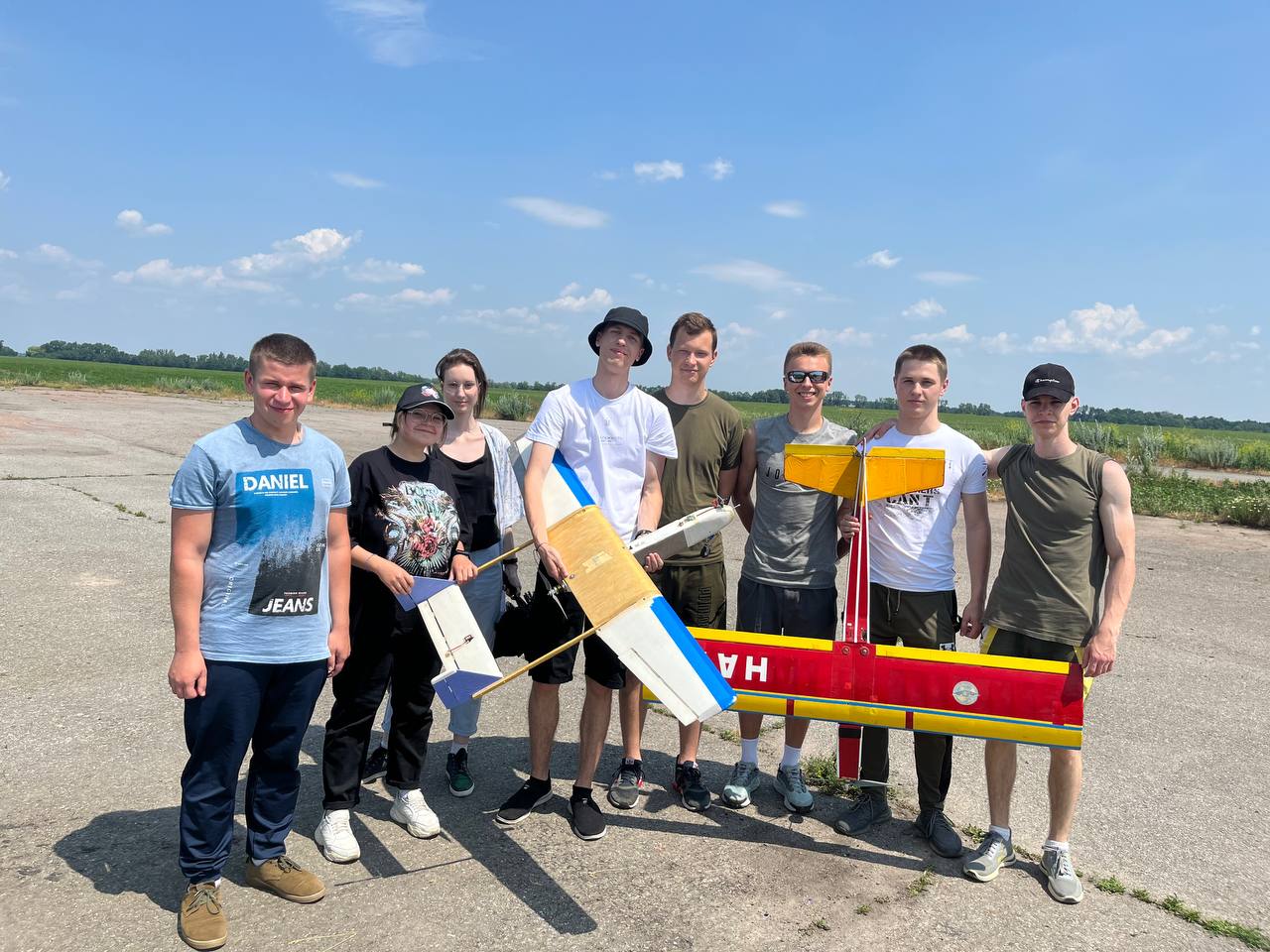
Святкує 10 років підготовки пілотів Безпілотних Літальних Апаратів (БПЛА). Навчайся у професіоналів!


Кафедра Аеронавігаційних Систем
Hаша гордість
Chicago O'Hare International Airport
(
Chicago,
United States )
BASIC DESCRIPTION
Latitude: 42.57959955
Longitude: -87.47180042
Elevation: 672 ft / 204.8256 m
Type of airport: large_airport
City:Chicago
ICAO code: KORD
IATA code: ORD
Local identification code: ORD
Airport web page: http://www.flychicago.com/Ohare/OhareHomepage.shtm
Wikipedia data about the airport: http://en.wikipedia.org/wiki/O'Hare_International_Airport
Scheduled service of the airport: yes
COMMUNICATION
APP(APP) : 119 Mhz
CLD(CLNC DEL) : 121.6 Mhz
GND(GND) : 121.675 Mhz
UNIC(UNICOM) : 122.95 Mhz
DEP(DEP) : 125 Mhz
PTD(PTD) : 126.2 Mhz
TWR(TWR) : 126.9 Mhz
ASOS(ASOS) : 135.4 Mhz
ATIS(ATIS) : 135.4 Mhz
NEARBY RADIO NAVIGATION AIDS
NDB
VOR-DME
RUNWAY INFORMATION
04L/22R
Surface: ASP
lighted: present
Runway 04L | Runway 22R | |
42.7487 | 42.4305 | |
-87.1609 | -87.8224 | |
Elevation: | 656 ft . | 648 ft . |
Heading: | 39.4 deg | 219.4 deg |
04R/22L
Surface: ASP
lighted: present
Runway 04R | Runway 22L | |
42.6293 | 42.4159 | |
-87.0974 | -87.1568 | |
Elevation: | 661 ft . | 654 ft . |
Heading: | 41.4 deg | 221.4 deg |
09L/27R
Surface: ASP
lighted: present
Runway 09L | Runway 27R | |
42.3879 | 42.2249 | |
-87.5614 | -87.3991 | |
Elevation: | 660 ft . | 650 ft . |
Heading: | 90 deg | 270 deg |
09R/27L
Surface: ASP
lighted: present
Runway 09R | Runway 27L | |
42.229 | 42.9061 | |
-87.235 | -87.1227 | |
Elevation: | 666 ft . | 651 ft . |
Heading: | 89.9 deg | 269.9 deg |
10/28
Surface: ASPH-CONC-G
Runway 10 | Runway 28 | |
41.992 | 42.5881 | |
-87.4285 | -87.5027 | |
Elevation: | 672 ft . | 651 ft . |
Heading: | 90 deg | 270 deg |
14L/32R
Surface: ASP
lighted: present
Runway 14L | Runway 32R | |
42.0334 | 42.9444 | |
-87.6234 | -87.1437 | |
Elevation: | 653 ft . | 648 ft . |
Heading: | 140.1 deg | 320.1 deg |
14R/32L
Surface: ASP
lighted: present
Runway 14R | Runway 32L | |
42.5074 | 42.5381 | |
-87.7401 | -87.1164 | |
Elevation: | 666 ft . | 649 ft . |
Heading: | 140.1 deg | 320.1 deg |
18/36
Surface: ASP
lighted: present
Runway 18 | Runway 36 | |
42.4174 | 42.2018 | |
-87.7244 | -87.7134 | |
Elevation: | 646 ft . | 653 ft . |
Heading: | 180 deg | 360 deg |
The data represented on this page is invalid and can be used only for training. Data was modified with error.
©Air Navigation Department, NAU. All rights are reserved


