Кафедра Аеронавігаційних Систем


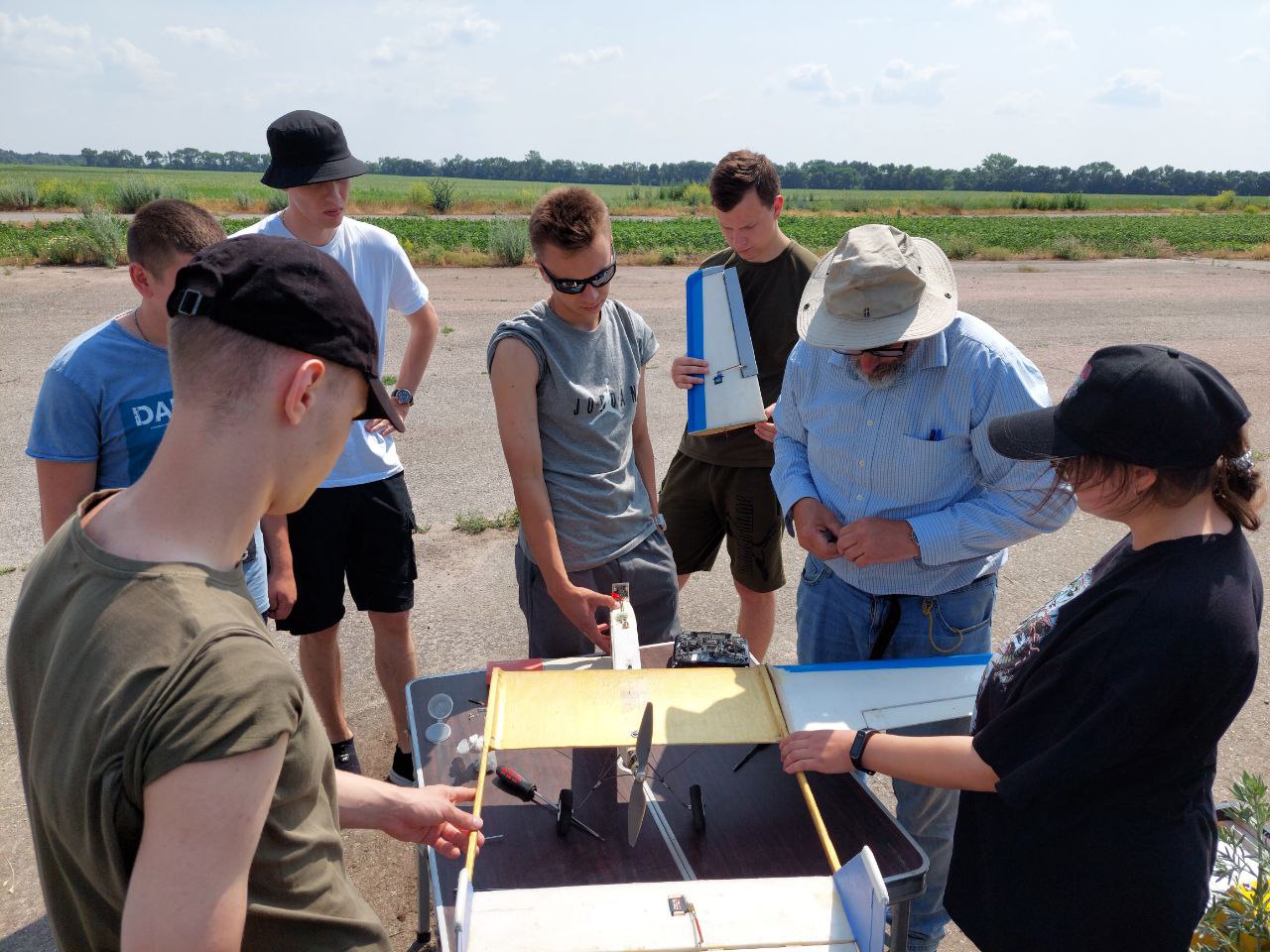
Святкує 10 років підготовки пілотів Безпілотних Літальних Апаратів (БПЛА). Навчайся у професіоналів!


Кафедра Аеронавігаційних Систем
Hаша гордість
Muhlenberg County Airport
(
Greenville,
Liberia )
BASIC DESCRIPTION
Latitude: 37.85620010376
Longitude: -86.318402587891
Elevation: 422 ft / 128.6256 m
Type of airport: small_airport
City:Greenville
ICAO code: KM21
Local identification code: M21
Scheduled service of the airport: no
COMMUNICATION
AWOS(AWOS 3) : 120.375 Mhz
UNIC(CTAF/UNICOM) : 123 Mhz
A/D(EVANSVILLE APP/DEP) : 126.4 Mhz
RUNWAY INFORMATION
05/23
Surface: ASP
lighted: present
Runway 05 | Runway 23 | |
37.6874 | 37.6851 | |
-86.5385 | -86.8213 | |
Elevation: | 415 ft . | 420 ft . |
Heading: | 55.8 deg | 235.8 deg |
Displaced threshold: | ft. | 400 ft. |
The data represented on this page is invalid and can be used only for training. Data was modified with error.
©Air Navigation Department, NAU. All rights are reserved


