Кафедра Аеронавігаційних Систем


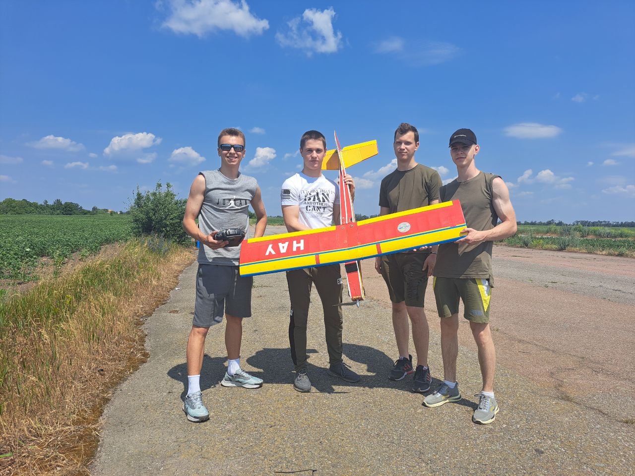
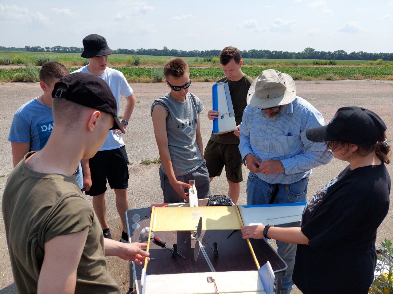
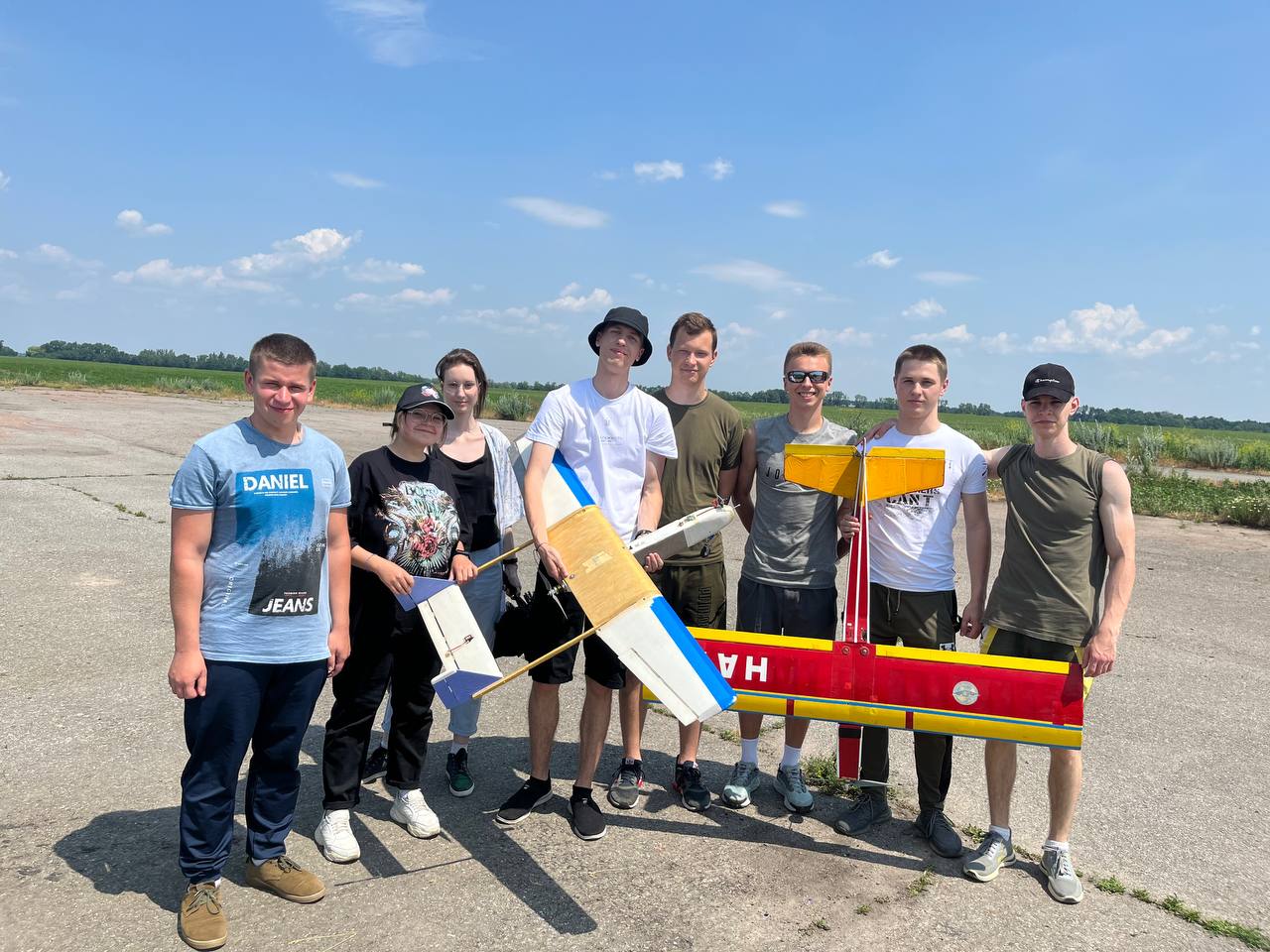
Святкує 10 років підготовки пілотів Безпілотних Літальних Апаратів (БПЛА). Навчайся у професіоналів!


Кафедра Аеронавігаційних Систем
Hаша гордість
Wattay International Airport
BASIC DESCRIPTION
Latitude: 18.1843003235
Longitude: 103.37400354
Elevation: 564 ft / 171.9072 m
Type of airport: medium_airport
City:Vientiane
ICAO code: VLVT
IATA code: VTE
Airport web page: http://www.vientianeairport.com/
Wikipedia data about the airport: http://en.wikipedia.org/wiki/Wattay_International_Airport
Scheduled service of the airport: yes
COMMUNICATION
TWR(VIENTIANE TWR) : 118.1 Mhz
APP(VIENTIANE APP) : 119.7 Mhz
NEARBY RADIO NAVIGATION AIDS
NDB
VOR-DME
RUNWAY INFORMATION
13/31
Surface: ASP
lighted: present
Runway 13 | Runway 31 | |
18.2408 | 18.6566 | |
103.278 | 103.552 | |
Elevation: | 563 ft . | 563 ft . |
Heading: | 135.3 deg | 315.3 deg |
The data represented on this page is invalid and can be used only for training. Data was modified with error.
©Air Navigation Department, NAU. All rights are reserved


