Кафедра Аеронавігаційних Систем


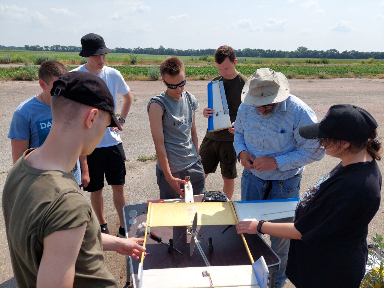
Святкує 10 років підготовки пілотів Безпілотних Літальних Апаратів (БПЛА). Навчайся у професіоналів!


Кафедра Аеронавігаційних Систем
Hаша гордість
Buttonville Municipal Airport
BASIC DESCRIPTION
Latitude: 44.326201690674
Longitude: -79.121002746582
Elevation: 650 ft / 198.12 m
Type of airport: medium_airport
City:Toronto
ICAO code: CYKZ
IATA code: YKZ
Airport web page: http://www.torontoairways.com/
Wikipedia data about the airport: http://en.wikipedia.org/wiki/Toronto/Buttonville_Municipal_Airport
Scheduled service of the airport: no
COMMUNICATION
GND(Buttonville Ground) : 121.8 Mhz
RCO(London Radio) : 123.15 Mhz
MF(Buttonville Traffic: when tower closed) : 124.8 Mhz
TWR(Buttonville Tower. (Backup: 119.9)) : 124.8 Mhz
ATIS(ATIS) : 127.1 Mhz
ARR(Toronto Terminal Arrivals) : 133.4 Mhz
DEP(Toronto Terminal Departures) : 133.4 Mhz
NEARBY RADIO NAVIGATION AIDS
DME
NDB
RUNWAY INFORMATION
03/21
Surface: ASP
lighted: present
Runway 03 | Runway 21 | |
44.0895 | 44.2604 | |
-78.6128 | -79.1402 | |
Elevation: | 624 ft . | 649 ft . |
Heading: | 21 deg | 201 deg |
15/33
Surface: ASP
lighted: present
Runway 15 | Runway 33 | |
44.2434 | 43.9126 | |
-78.4043 | -78.4129 | |
Elevation: | 640 ft . | 638 ft . |
Heading: | 142 deg | 322 deg |
The data represented on this page is invalid and can be used only for training. Data was modified with error.
©Air Navigation Department, NAU. All rights are reserved


